The overall map of Realmgard is still in-progress and remains my major artistic priority, but I’ve been sitting on a couple pretty weak maps of Porthaven that need fixing.
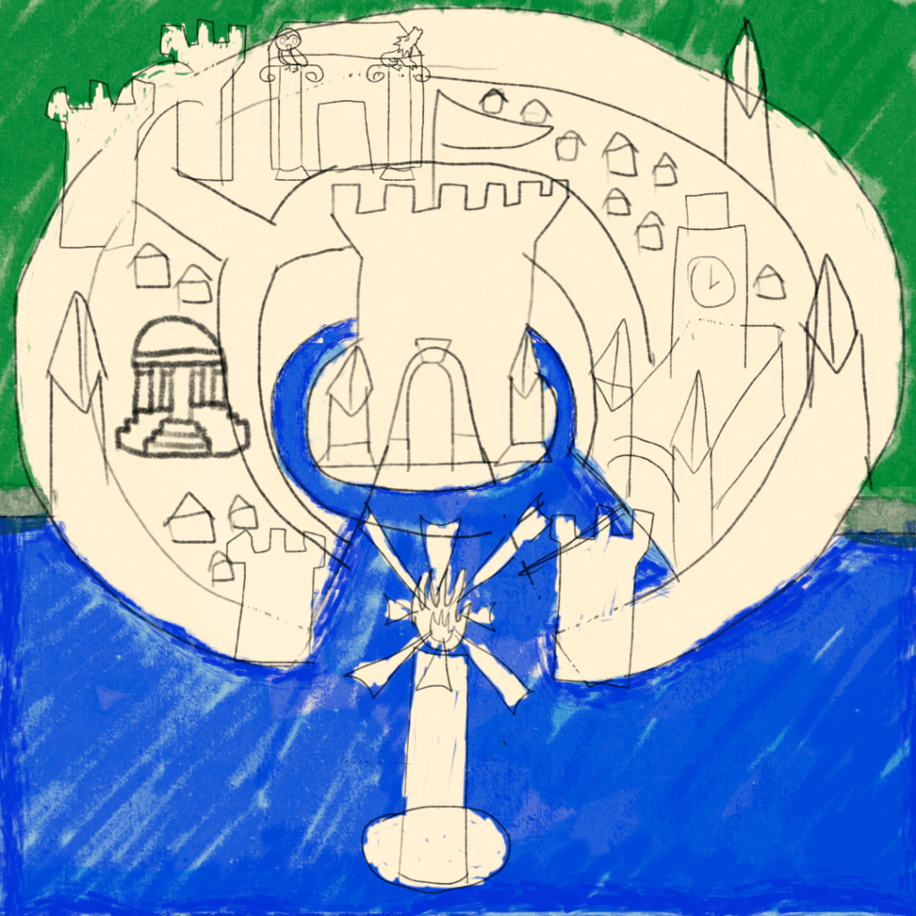
Hence, this new map of Porthaven.
Now, if this looks like a rough draft, that’s because it is. I’m going to go over all of the line art with a better brush and more concern for the end result.
Also worth noting, this map isn’t necessarily supposed to be an accurate, functional navigational aid for what Porthaven actually looks like, it’s more of like a pictorial map or an idealised, symbolic abstraction of the idea of Porthaven.
The state of pre-modern geography and cartography being what it was, maps had a tendency to focus more on artistic and/or ideological statements than sheer geographical accuracy.
See, for example, once again, the Hereford Mappa Mundi: East on top (the verb orient derives from the noun Orient, referring to the eastern direction), Jerusalem in the middle, the various peoples from outside Europe depicted and described in a fairly Christian-influenced, Eurocentric manner.
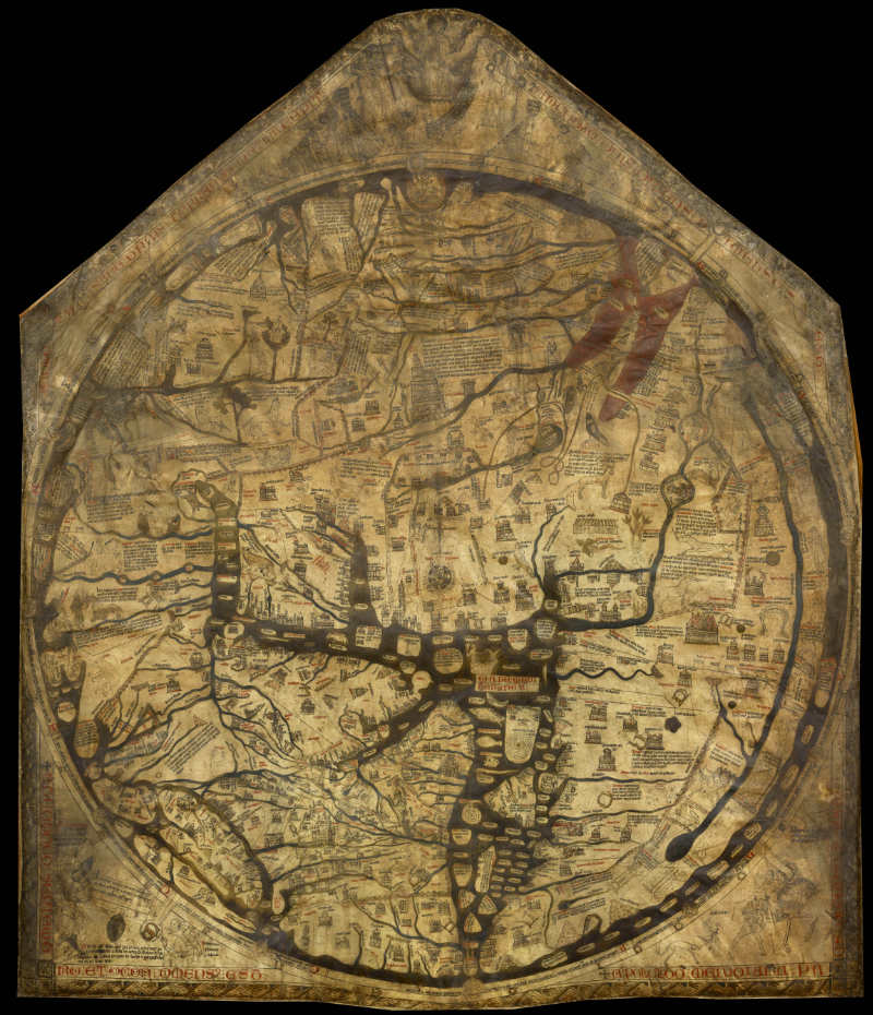
A lower-resolution version of the original on Wikimedia Commons, via UNESCO. Public Domain.
And that’s sort of what I’m going for here.
For one thing, the actual city isn’t necessarily that circular, that’s meant to invoke old maps like the Babylonian Map of the World, or T-and-O maps, where the three known continents of the time, Europe, Asia, and Africa, are sections that combine into a perfect circle (Asia is a half, Europe and Africa are quarters) separated by a T-shaped body of water representing the Mediterranean and the rivers that demarcating the borders of the continents and surrounded by an O-shaped River Oceanus surrounding the landmass of the Ecumene.
More maps to follow.
Speaking of, follow me here:
